
Utah Flood Hazards &
Floodplain Management


For quick access to popular links
click on graphics
← →

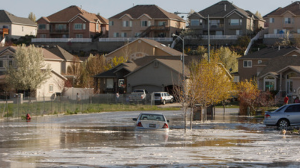
Flooding is Utah's most destructive–and common–natural disaster.
Of all the natural disasters occurring in Utah, floods consistently carry the highest price tag year after year. Flooding leads to loss of life, property damage and destruction, damage and disruption of communications transportation, utilities, agricultural losses, and interrupt businesses. Furthermore, flooding can release contaminants into water creating health and environmental hazards.
The State’s Division of Emergency Management’s Floodplain Management Programs support Utah’s local communities by providing flood risk studies and maps, and floodplain management best practices. We act as a liaison with FEMA as needed, helping floodplain managers tame their community’s risk through participation in the National Flood Insurance Program.
Utah Division of Emergency Management Flood Hazard Programs
Floodplain Management
The Utah Floodplain Management Program provides assistance to communities in the form of regulations and ordinance administration, identifying and remediating building violations, providing outreach and training, and identifying mitigation funding opportunities.

Floodplain Mapping
High and Dry Newsletter
Utah Floodplain Program and Utah Floodplain and Stormwater Management Association (UFSMA)

Floods, What You Should Know About Living in Utah
A resource for your community
Flood Risk Atlas
Flood Risk Maps, Data and Downloads