What Does a Floodplain Manager Do?
A local floodplain manager has the following responsibilities to regulate and enforce floodplain management.
What Does a Floodplain Manager Do?
What Does a Floodplain Manager Do?
- Issues or denies floodplain development permits
- Ensures all development is in compliance with the local ordinance
- Maintains records of development within the Special Flood Hazard Area
- Keeps the community's floodplain maps up to date
- Assists the community in obtaining information on flood hazards, floodplain map data, flood insurance, and proper construction measures
- Attends training and meetings for floodplain management
- Stays informed on flood mitigation measures within the community

Permit Development Within Your Community
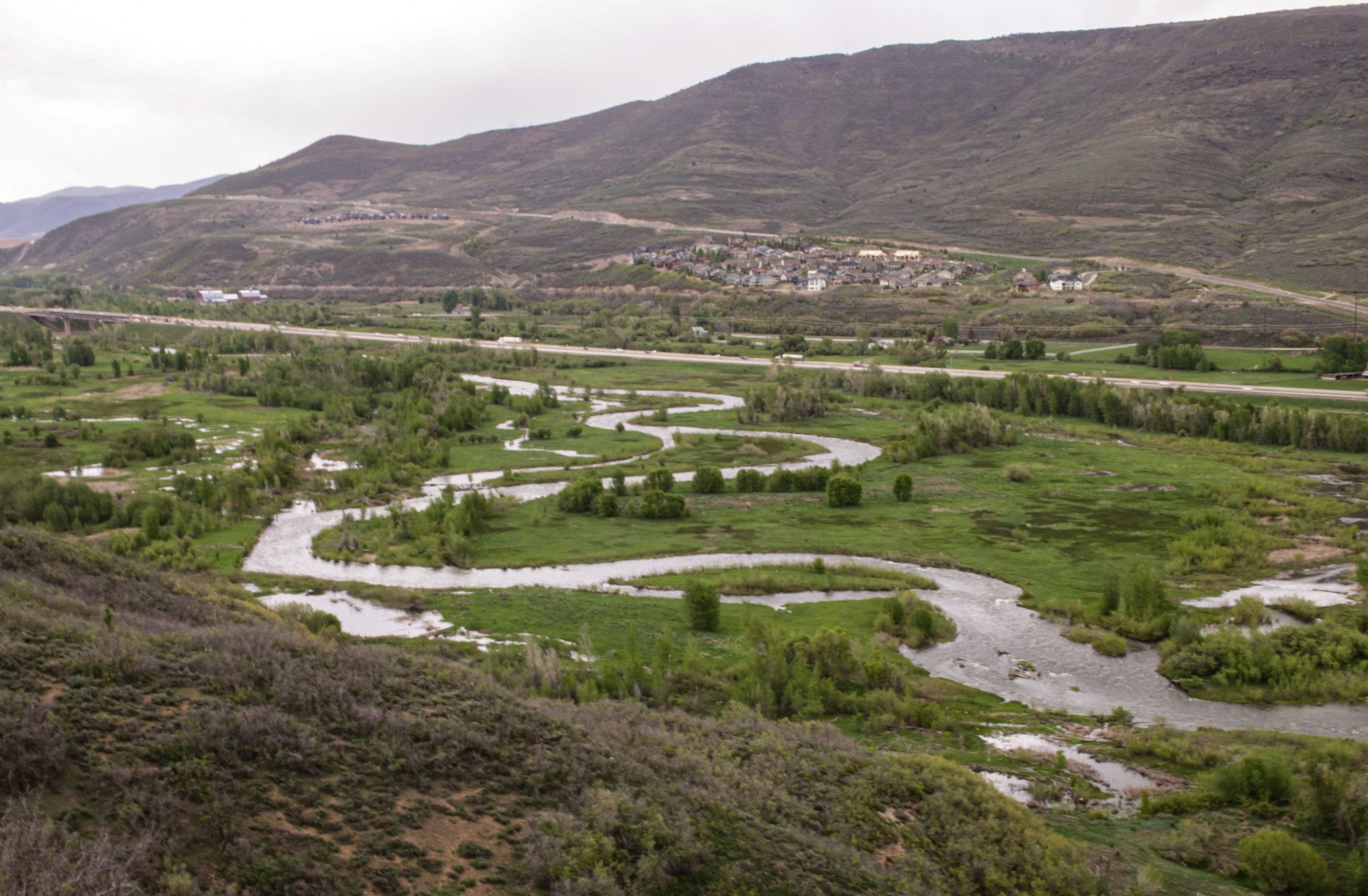
Stream Alteration Permitting
Endangered Species Act (ESA)
ESA Section 7(a)(1) Conservation Action Program promotes the conservation of threatened and endangered species and their habitat through three components:
- Building awareness
- Helping with identification
- Promoting existing incentives and creating new incentives
iPaC Tool is a web-based geospatial mapping application to help communities identify floodplains where threatened and endangered species reside.
Keep Your Maps Updated
Keep Your Maps Updated
Letter of Map Amendment (LOMA)
A LOMA is issued because a property has been mapped as being in the floodplain, but is actually on naturally high ground above the base flood elevation. Used to have flood insurance requirement removed. To read more on obtaining a LOMA and how to request one please view or download FEMA's Fact Sheet.
Letter of Map Revision based on Fill (LOMR-F)
A LOMR-F is issued to document that a structure or parcel of land has been elevated above the BFE by the placement of fill and is no longer in the special flood hazard area (SFHA). Used to have flood insurance requirement removed. To read more on obtaining a LOMR-F and how to request one please view or download FEMA's Fact Sheet.
Conditional Letter of Map Revision (CLOMR)
A CLOMR is a letter form FEMA commenting on whether a proposed project, if built as proposed, would meet minimum NFIP standards. A CLOMR is usually followed by a LOMR.
Letter of Map Revision (LOMR)
A LOMR is a letter from FEMA that revises the current NFIP map with changes to floodplains, regulatory floodways, or flood elevations. A community or individual can request a LOMR to update the following: flood hazard boundary maps, flood insurance rate maps, flood boundary & floodway maps, and flood insurance study reports.
Current Maps and Projects
Floodplain Manager Toolbox
Sample Model Ordinances (level A, B, C, D, and E)
These follow FEMA's minimum regulation standards and/or community higher standards for flood damage prevention and reduction. Reach out to Tracie Harrison, [email protected] or McKenzie Ranney, [email protected] for a model.
Community Status Book
See if your community participates in the NFIP
Community Rating System (CRS)
FEMA's Voluntary program for recognizing and encouraging floodplain management activities that exceed the minimum standards to earn flood insurance discounts for your community
FEMA-480 Floodplain Management Requirements (FEMA Publication)
A Study Guide and Desk Reference for Local Officials
Elevation Certificate and Instructions (FEMA Certificate)
Official record showing that new buildings and substantial improvements in identified flood hazard areas are properly elevated
Flood Damage Assessment Toolkit for Utah Floodplain Managers
This toolkit is to help local communities after a flood has happened. It provides information on what steps to take, how to do a damage assessment, letter templates, door hangers, etc.
Substantial Damage Utah Quick Guide
3-page basic guide about Substantial Damage
Substantial Damage/Improvement Desk Reference (FEMA Publication)
When buildings undergo repair or improvement, it is an opportunity to reduce flood damage to existing structures. This resource provides practical guidance and suggested procedures
Substantial Damage/Improvement Answers to Questions (FEMA Publication)
Answers to those general questions about Substantial Damage/Improvement
Answers to Questions about the NFIP (FEMA Publication)
Development in the Floodway (FEMA Fact Sheet)
Any project in the floodway must be reviewed to determine if the project will increase flood heights
Additional Resources
Additional Resources

Floods, What You Should Know About Living in Utah
A public resource for your community
Utah Quick Guide
Floodplain management guide for community officials