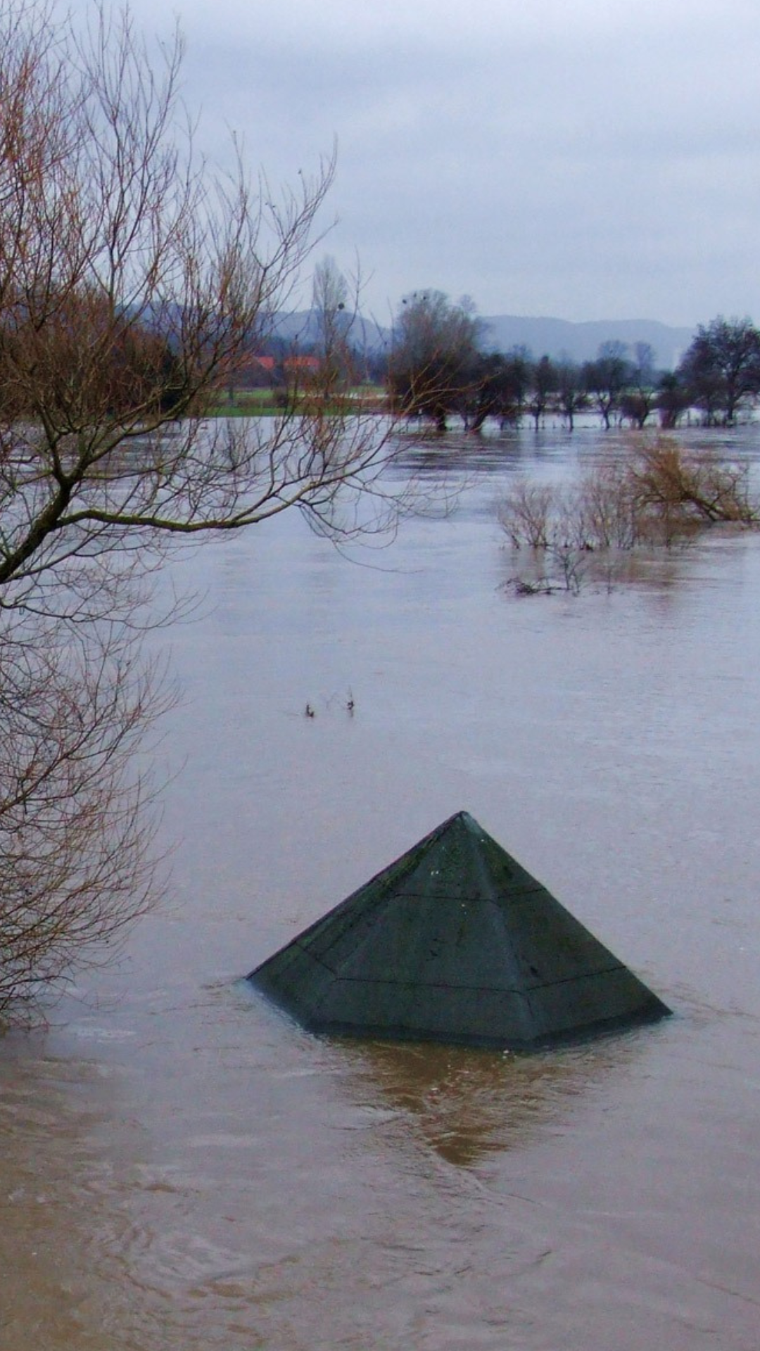
2023 Spring Runoff Flooding

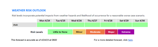
Click here or on the image above for up-to-date weather & flood forecasts.
The flood monitoring cameras, which were acquired temporarily for the flood response, are no longer in place due to the reduction of flood concerns across the state. We want to thank our federal, state, and local emergency management partners, Live View Technologies (LVT), and the media for their participation and support which enabled officials and the public to view and monitor areas of concern within their communities.
Go to the Flood Dashboard
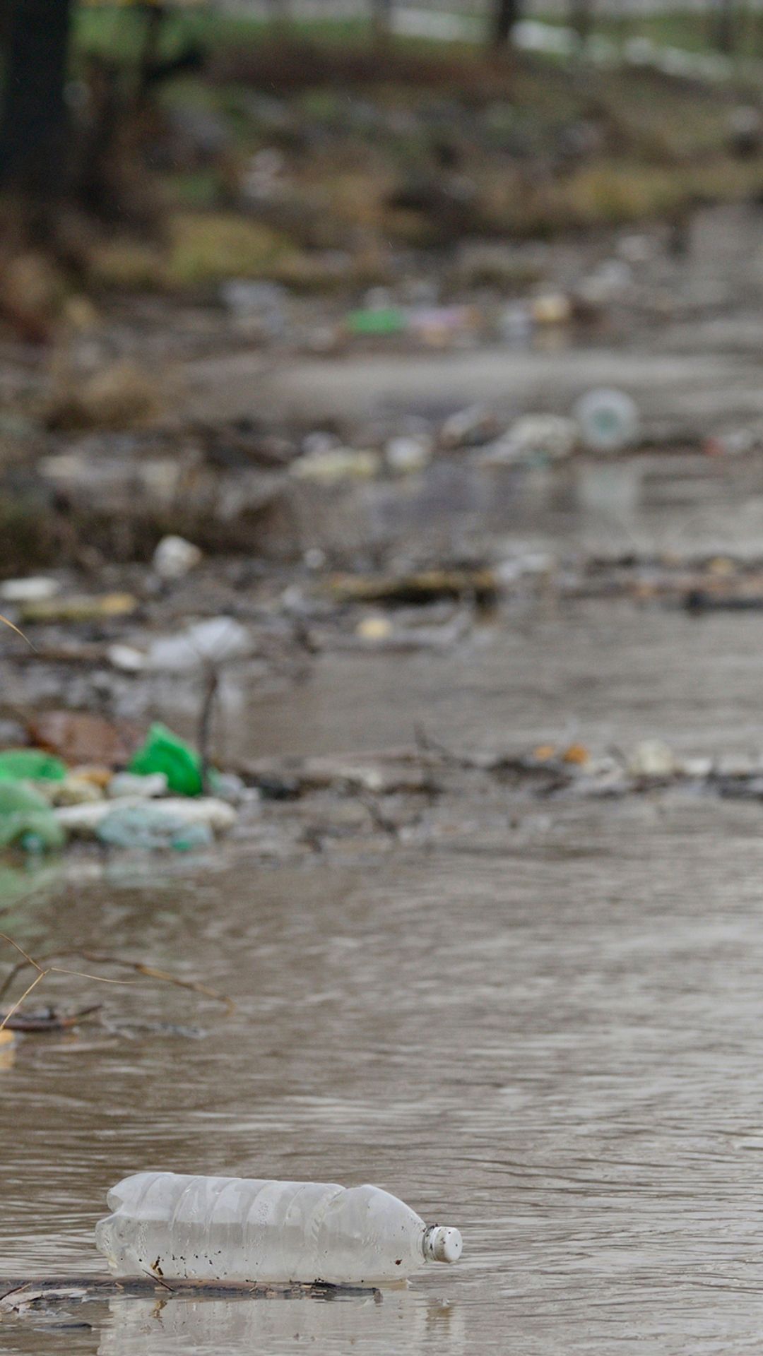
In response to the flooding in 2023, due to record snowpack, the State of Utah Division of Emergency Management has compiled (or gathered) a variety of resources and spatial data to increase situational awareness.
Flood Preparedness
Learn how to prepare your home, your family, and your community for the effects of flooding.
Get Flood Prep Info
DNR Flooding Information
The Utah Department of Natural Resources is working to mitigate negative impacts from high snowpack and flooding.
DNR Info
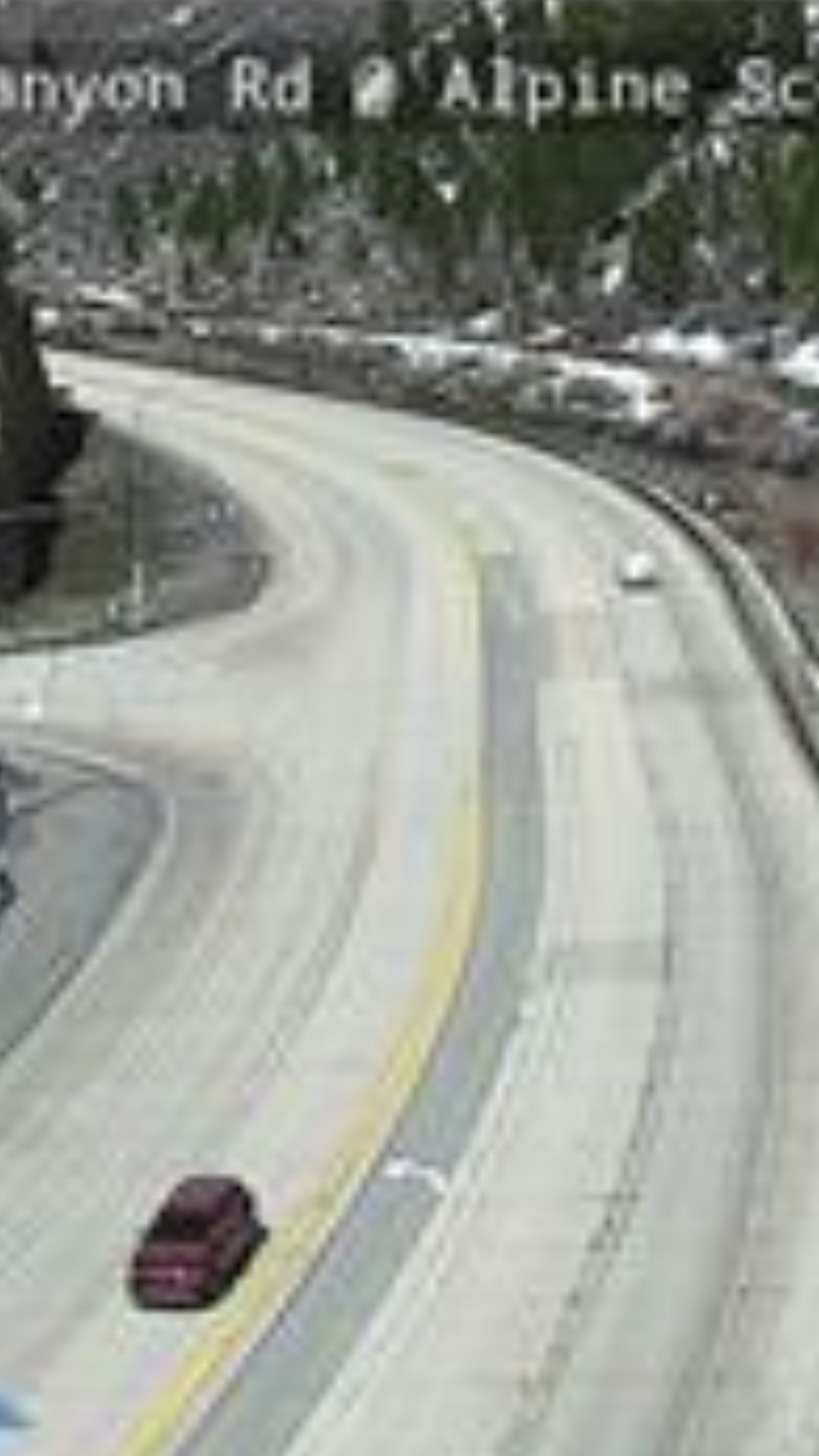
Road Conditions
Check for any flood-related effects on Utah's roadways with emergency alerts and live traffic cameras.
Get Road Conditions
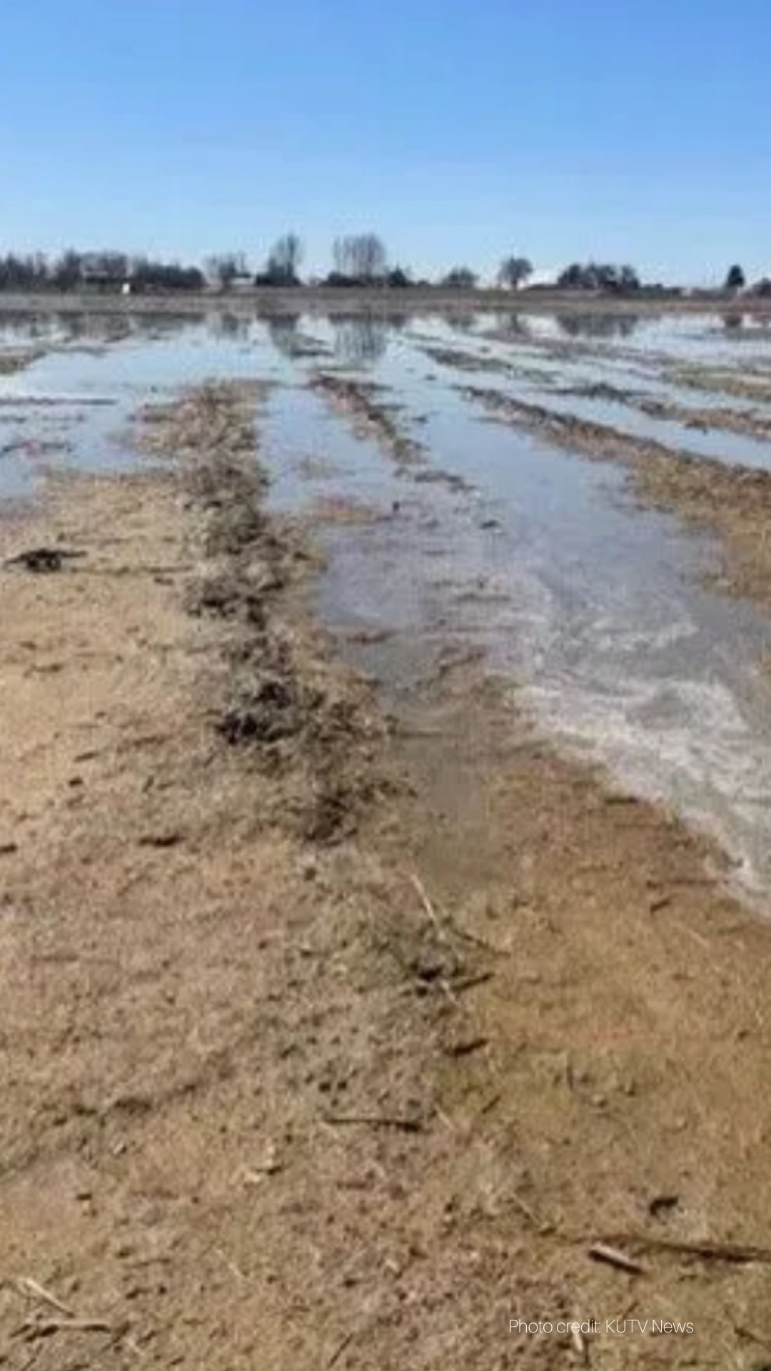
Agriculture Information
Utah's Department of Agriculture has flood-related information for farmers and ranchers.
Get Ag Info & Resources
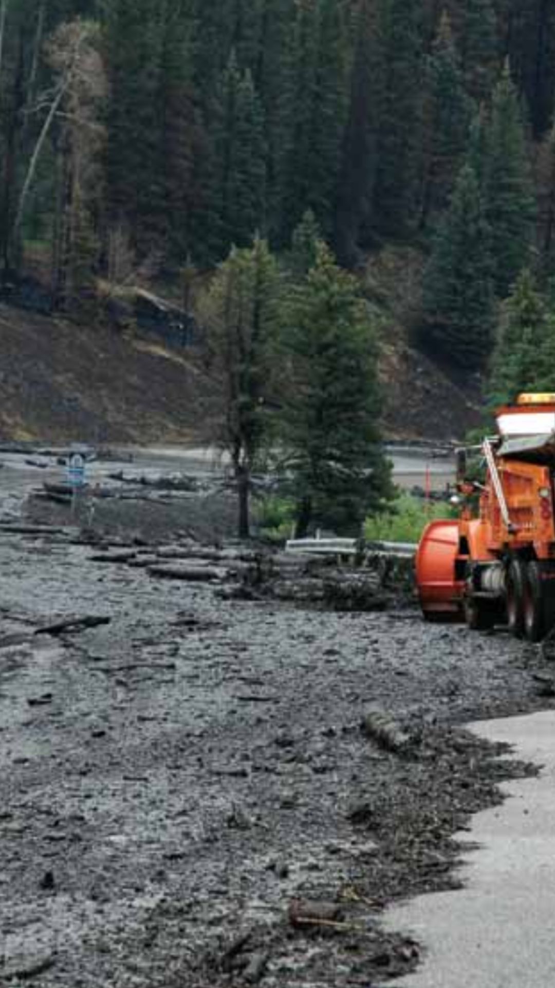
Landslides & Debris Flow
High snowpack and flooding may cause landslides & debris flows.
Learn About Geologic Hazards
Visitor & Tourism Info
The Utah Office of Tourism has info about how to stay safe & aware during your Utah visit.
Get Visitor Information
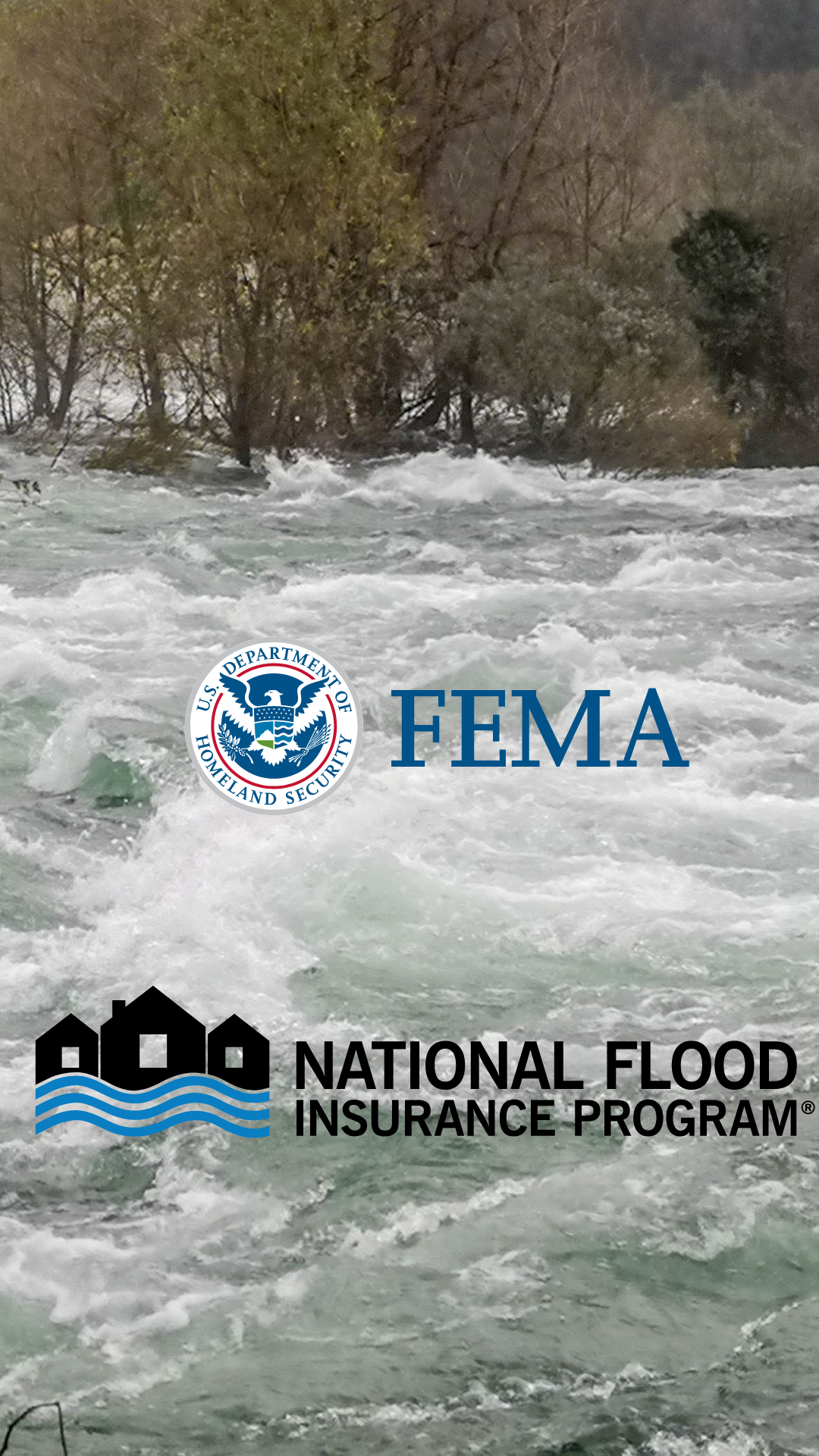
National Flood Insurance Info
The NFIP offers flood insurance to help you protect the life you’ve built.
Flood Insurance Info
Utah Flood Insurance Info
Utah's Insurance Department has flood insurance information and resources.
Go to Utah Flood Insurance Info
Local Info & Resources - Flood Maps, Sandbags, Volunteer Ops, Etc.
Useful Links for Flooding Awareness:
View and Download Flood Maps | NWS SLC Twitter | Reservoir Levels | Snow Water Equivalent | SNOTEL | Streamflow Gauges | Avalanche Risk | Drought Monitor | Water Dashboard | River Levels | NOAA Spring Flood Outlook
Useful Links for Landslide Awareness:
Useful Links for Wildfire Safety Awareness:
UT Public Wildfire Dashboard | Public Safety Power Shutoff Map | Statewide Fire Restrictions | Smoke & Air Quality | Fire & Smoke Map | Alert Wildfire Cameras | Utah Fire Twitter